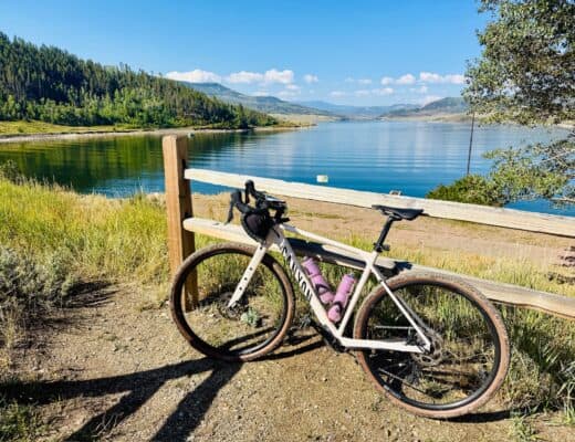
The High Line Canal Trail and South Platte River Trail bike loop is a popular route in the Denver Metro area! It is popular for many reasons; easy to access from many parts of the city, varied terrain of gravel and paved trails, plenty of rest stops, and avoids riding on roads (other than a single mile)!
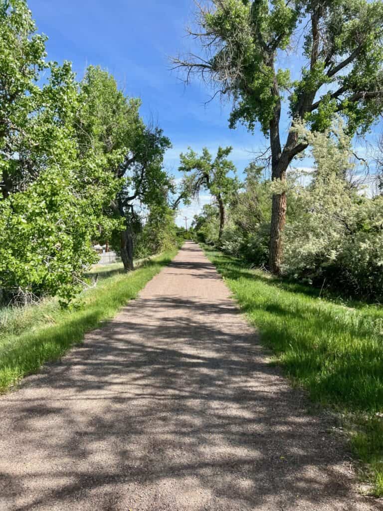
Because it can be accessed from my points, I call this more of a “choose your own adventure” route! We parked and started at the High Line Canal Trailhead off of W County Line Rd and Southpark Ln in Littleton, Colorado. We headed north (zig-zagging with several road crossings) on the High Line Canal Trail for 20 miles before heading west on Dartmouth Ave (the only road section) before connecting with the South Platte River Trail.
Once on the South Platte River Trail, the surface turns to pavement and you will, most likely, meet up with lots of other cyclists! This is one of my favorite sections of riding in Denver – enjoy! There are a few twists, turns, and hills on the short stretch of the C-470 Trail you’ll take before reaching the end of this ride! Such a fun ride – go do it today!

Good to Know
Distance: 35 mile loop
Trails: High Line Canal, South Platte River, C-470
Elevation Gain: ~600 ft
Terrain: Packed crushed limestone and paved trail
Parking: Available at Trailhead at W County Line Rd and Southpark Ln in Littleton, CO
Facilities: Available at Writer’s Vista Park
Fun Fact: Nixon’s Coffee House is the perfect rest stop on this route!



No Comments