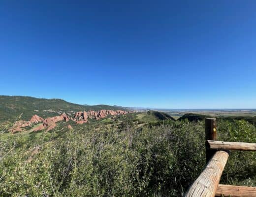
Hiking the “Decalibron” is a popular endeavor in Colorado. “Decalibron” stands for hiking four 14ers in the same mountain range in Leadville, Colorado. These include Mount Democrat, Mount Cameron, Mount Lincoln, and Mount Bross. This hike is definitely a great “bang-for-your-hiking-buck” if you are looking to summit as many 14ers in Colorado as you can!
Getting There
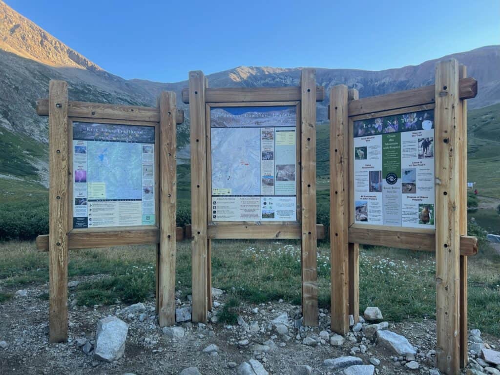
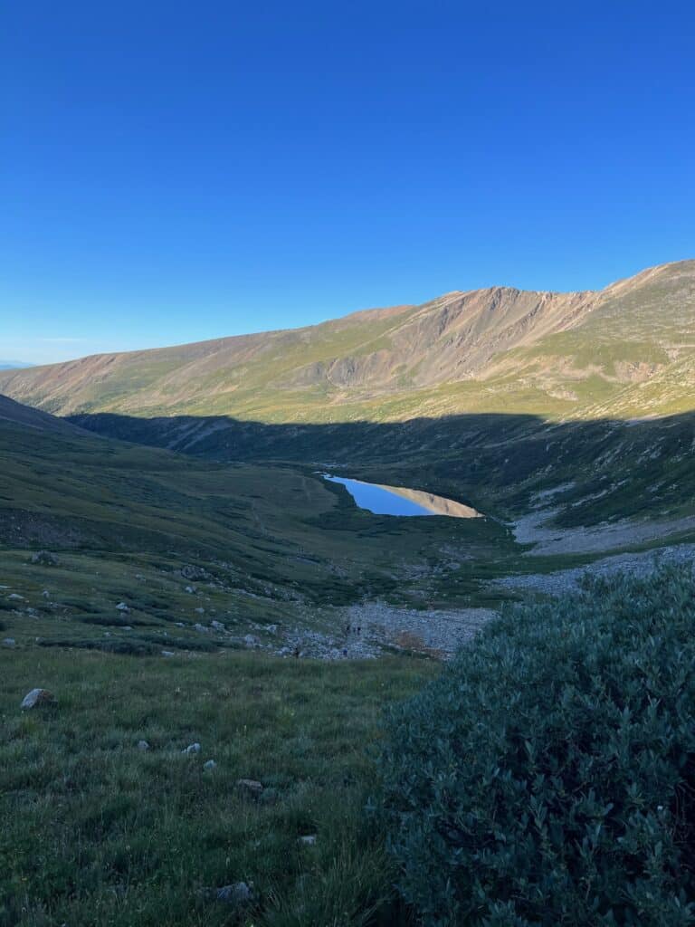
This hike starts at Kite Lake Trailhead ~20 minutes off of Hwy 9. Those 20 minutes on backroads are pretty tough although doable with a smaller SUV (I drove a Honda CR-V). The parking area is small and fills up very quickly on the weekends. Plan on parking on the side of the road which we did. No issues here other than adding 10 minutes of walking to the trailhead.
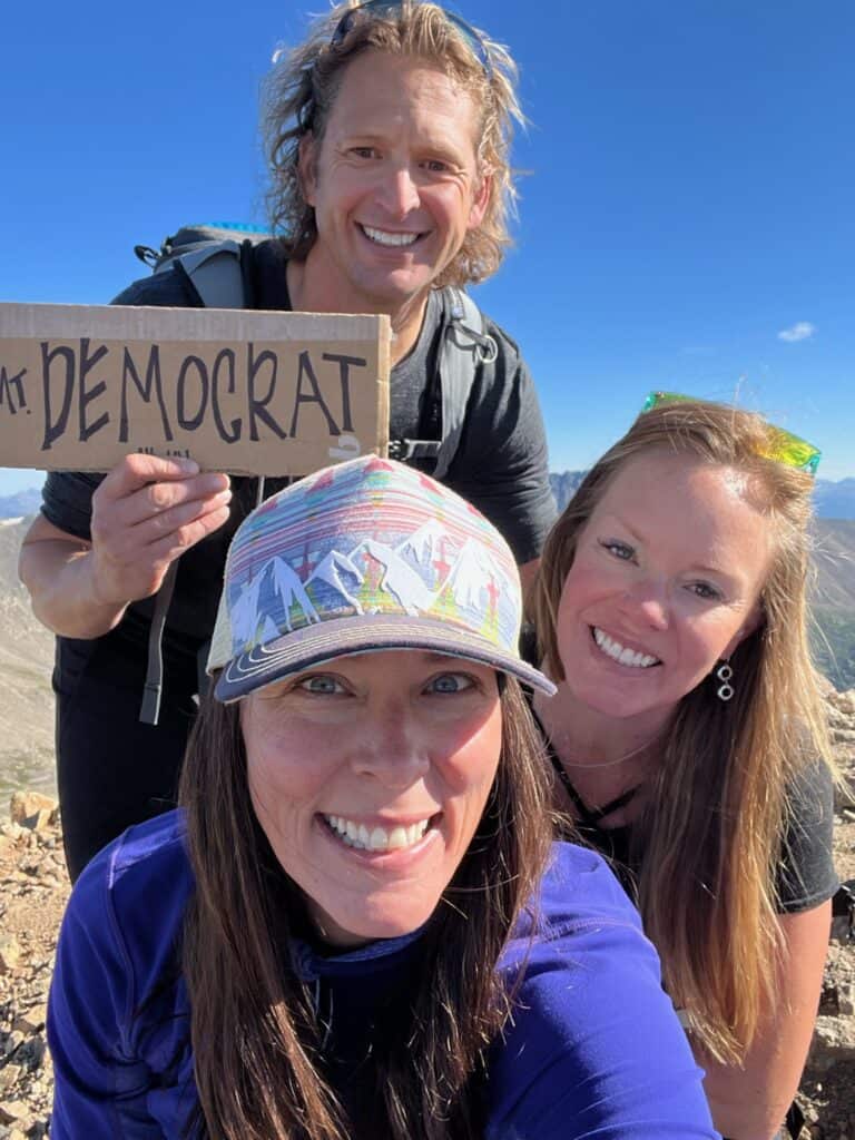
Mount Democrat
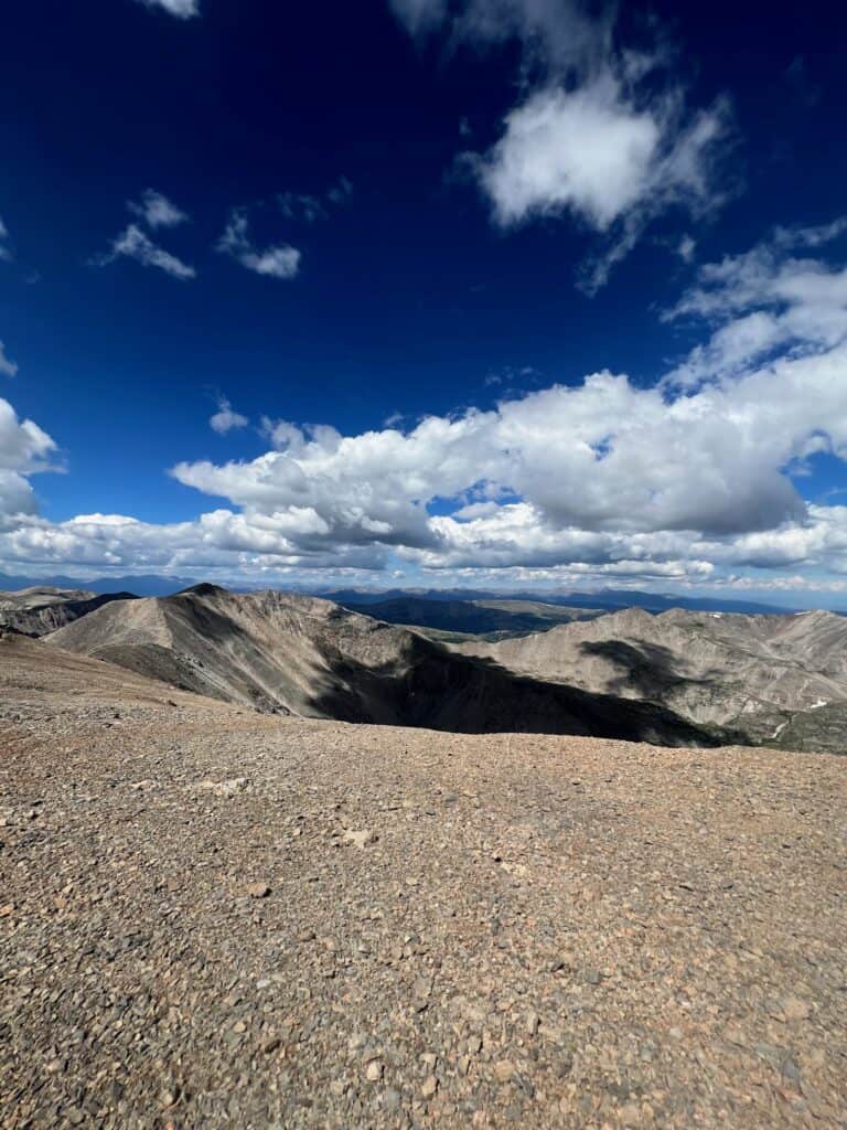
Mount Democrat is definitely the most popular of the four 14ers as there was a large number of people that summited Democrat and then returned to their vehicle. It is a 2.5 mile climb to the summit; the first mile is mild, the second challenging, and the last half-mile very difficult climbing over rocks! There were lines of people so no risk getting off the trail!
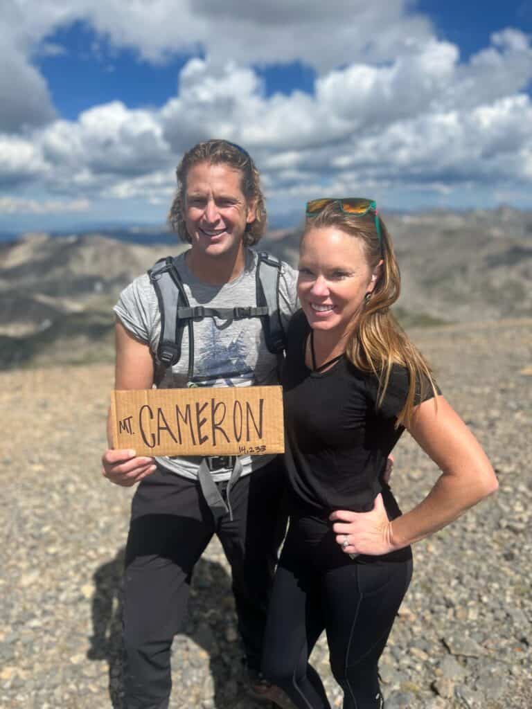
Mount Cameron
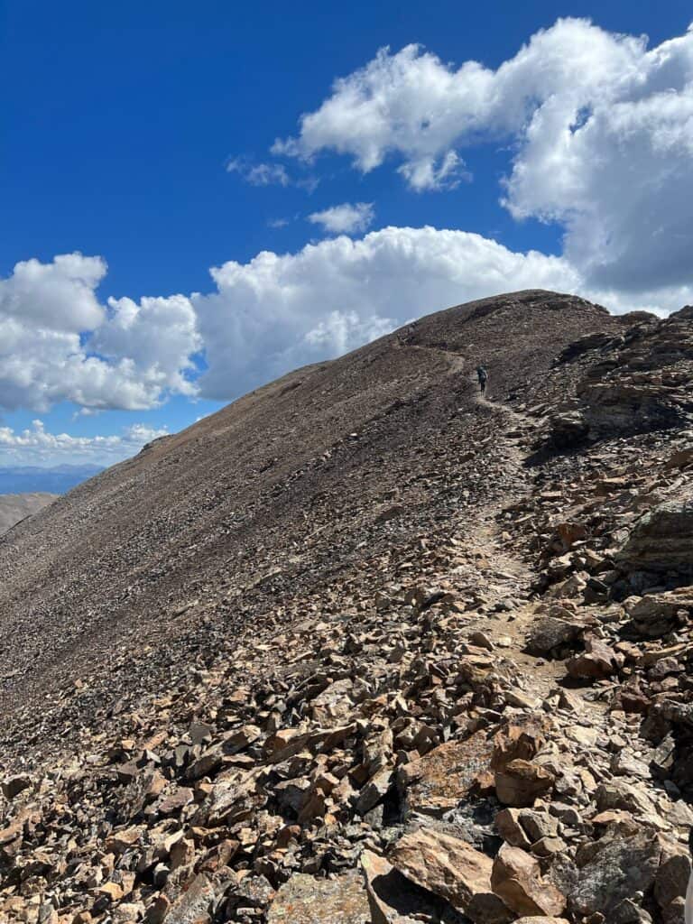
Mount Cameron holds a special place in my heart as my nephew + godson bears the same name. After a tricky climb down Mount Democrat, it was time to go up again before leveling off and walking along this “plain” at the top of Mount Cameron. It was definitely the most unique summit I’ve experienced…and dare I say, easiest!
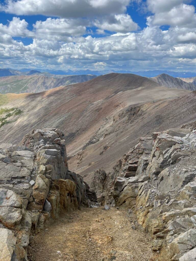
Mount Lincoln
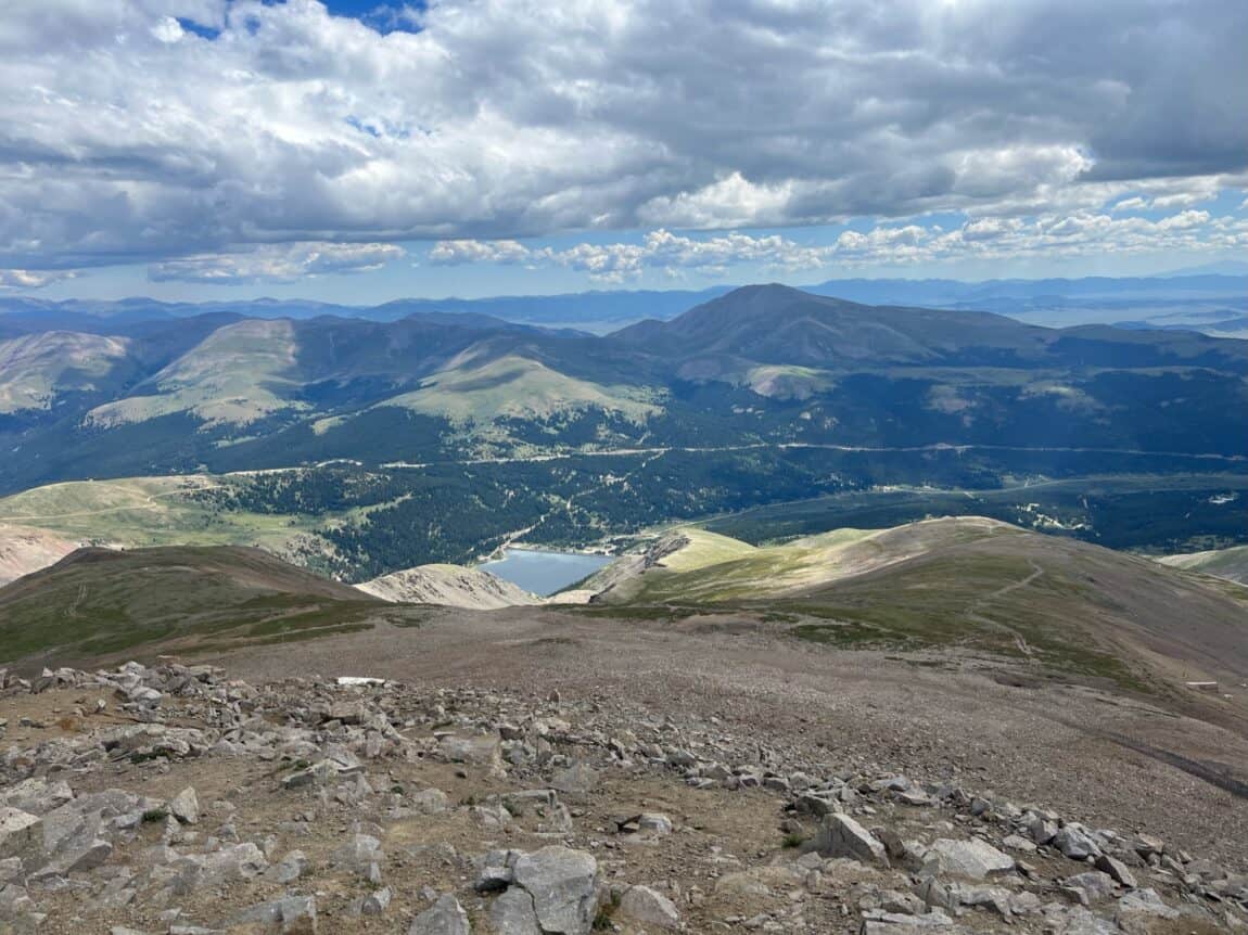
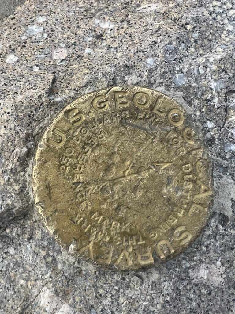
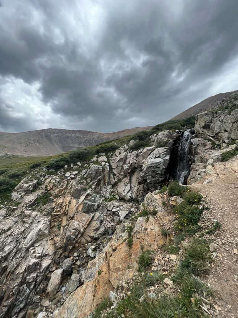
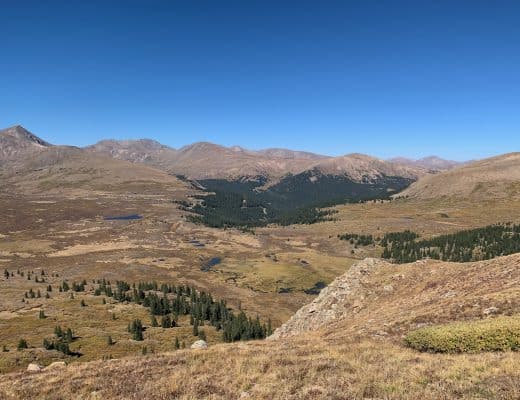
The crazy (and oxygen depleting) part of this hike is that most of your time will be spent over 14,000 feet above sea level hiking between these peaks. Please be prepared for strain on your body. The summit was a combination of rocky and flat, if that can make sense to you! The cool thing I found at this summit was the surveyor’s medal where they officially calculated the height of the mountain.
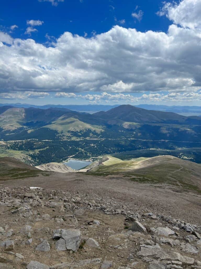
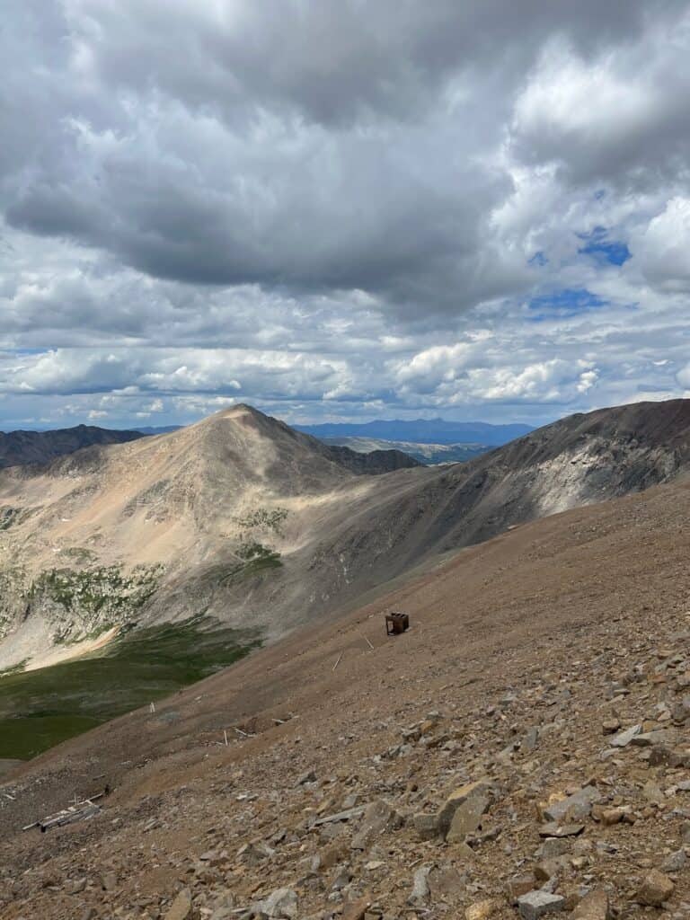
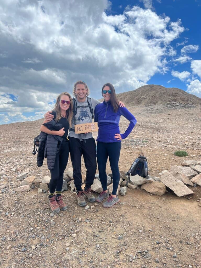
Mount Bross
Here’s where the controversy lies; the summit lies on private property so the public is technically NOT allowed to summit. We followed the rules and took a photo where the trail ended. I will consider this crossed off my list as I climbed as high as I could. My hiking mate disagreed and could NOT cross Mount Bross off his list. I’ll let you decide this one for yourself!
Good to Know
Distance: 10 mile out-and-back
Trails: Mount Yale
Elevation Gain: ~4,400 ft
Terrain: Rocky surface
Parking: Available at Kite Lake Trailhead
Facilities: Available at Kite Lake Trailhead
Fun Fact: Bring your own sign!
No Comments